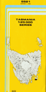
TAS 5521 – Raoul Online now
- Estimated Delivery : Up to 4 business days
- Free Shipping & Returns : On all orders over $200
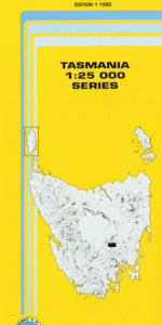
This Topographic Map is produced by the Department of Primary Industries, part of the Tasmanian Government.
These maps are an important resource for Government, industry, and the public. They are used for environmental and emergency management, farm planning and mineral exploration. They are also popular for recreational users such as bushwalkers, mountain bike and horse riders.
The PDF version of this can be printed at home or sent to a professional printer for a 100% scale reproduction.
At this scale, 4cm on this map represents 1km on the ground. A standard map (which is square) covers an area of approximately about 12.5km by 12.5km, with a contour interval of 10m. This map contains natural and constructed features including road and rail infrastructure, vegetation, hydrography, contours, localities and some administrative boundaries.
Basket Bay Black Rock Briggs Point Cape Raoul Crescent Bay Curio Bay Dauntless Point Dog Bark Eldridge Creek Fish Hawk Gully Frerks Creek Jenkins Creek Kelp Bay Maingon Bay Maingon Blowhole Maingon Heights Mansfield Plain Mount Brown Mount Raoul Palmers Lookout Raoul Bay Raoul Rock Remarkable Cave Rileys Creek Rileys Reef Safety Cove Safety Cove State Reserve Salem Point Salters Bay Salters Point Ship Stern Bluff Standup Point Swallownest Cliff Tunnel Bay Tunnel Bay Creek Tunnel Hill West Arthur Head Canoe Bay Fish Hawk Creek Halfmoon Blowhole Pebbly Beach Penguin Rocks Southerly Bight The Prairie Waterfall Bay Yellow Bluff Three Beach Bay Dart Bank
| Title | Pdf Download |
|---|