TAS 5428 – Buckland For Discount
- Estimated Delivery : Up to 4 business days
- Free Shipping & Returns : On all orders over $200
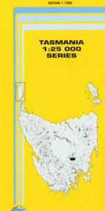
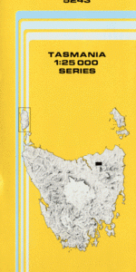
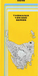
This Topographic Map is produced by the Department of Primary Industries, part of the Tasmanian Government.
These maps are an important resource for Government, industry, and the public. They are used for environmental and emergency management, farm planning and mineral exploration. They are also popular for recreational users such as bushwalkers, mountain bike and horse riders.
The PDF version of this can be printed at home or sent to a professional printer for a 100% scale reproduction.
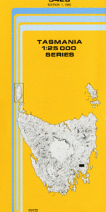
At this scale, 4cm on this map represents 1km on the ground. A standard map (which is square) covers an area of approximately about 12.5km by 12.5km, with a contour interval of 10m. This map contains natural and constructed features including road and rail infrastructure, vegetation, hydrography, contours, localities and some administrative boundaries.
Levenbanks Ponderosa Brookdale Zelwood Ardross Ardross Hill Driscolls Hills Black Flat Boomer Hill Break-Me-Neck Hill Brown Mountain Buckland Buckland Gorge Bullock Hill Creek Bust Me Gall Creek Bust Me Gall Hill Channel Gully Grassy Bottom Hodgsons Sugarloaf Jenkins Point Johnny Macs Kerrs Rivulet Maynes Gully Mitchells Creek Mosquito Marsh Mosquito Valley Mother Rough Hill Mount Calder Mount Calvary Mount Gatehouse Nelsons Creek Parkers Hill Pitts Hill Prosser Ridge Prosser River Reis Rivulet Rowlands Hill Running Ground Ridge Sally Peak Sand River Skeggs Gully Spar Hill Stringy Bark Bottom The Cobs Tiger Trap Gully Wild Dog Creek Brown Mountain Forest Reserve Brushy Plains Rivulet Bridge Bust Me Gall Creek Bridge Nelsons Creek Bridge Ironstone Creek Bluff River Nelson Creek Brushy Plains Creek Brushy Plains Rivulet Burst My Gall Hill
| Title | Pdf Download |
|---|