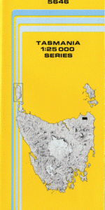
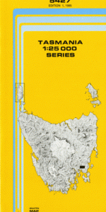
TAS 5427 – Runnymede Discount
- Estimated Delivery : Up to 4 business days
- Free Shipping & Returns : On all orders over $200
This Topographic Map is produced by the Department of Primary Industries, part of the Tasmanian Government.
These maps are an important resource for Government, industry, and the public. They are used for environmental and emergency management, farm planning and mineral exploration. They are also popular for recreational users such as bushwalkers, mountain bike and horse riders.
The PDF version of this can be printed at home or sent to a professional printer for a 100% scale reproduction.
At this scale, 4cm on this map represents 1km on the ground. A standard map (which is square) covers an area of approximately about 12.5km by 12.5km, with a contour interval of 10m. This map contains natural and constructed features including road and rail infrastructure, vegetation, hydrography, contours, localities and some administrative boundaries.
Sally Peak Runnymede Tranquillity Pine Whitemarsh Sunnyside Burnside Groome Hill Adams Hill Eaglehawk Creek Barn Hill Black Charlies Opening Black Charlies Sugarloaf Black Hills Brushy Plains Rivulet Burrows Gully Burrows Sugarloaf Camden Sugarloaf Crawlers Gully Curryjong Rivulet Dares Creek Dark Gully Flat Top Hill Fluffem Creek Grahams Gully Green Point Gooseberry Jacks Flat Halstead Hill Jobs Hill Linger Longer Hill Morrison Sugarloaf Mount Minnie Mount Morrison Mount Phipps Mountain Gully Narrows Creek Nelsons Tier Orielton Rivulet Pawleena Reservoir Phipps Creek Phipps Sugarloaf Rileys Hill Ringarooma Creek Runnymede Sugarloaf Silver Hill Simpsons Creek Simpsons Hill Splitters Tier Spriggs Flat Square Mountain Station Hill Sunnyside Hill The Ham The Pulpit Thistly Coil Thunderbolt Hill Unemployed Gully Watts Sugarloaf White Marsh Wilsons Ridge Badger Scrub Barren Tier Brushy Plains Long Ridge Mount Morrison Forest Reserve Seven Mile Scrub Wilson Scrub
| Title | Pdf Download |
|---|