TAS 5239 – Evandale Online
- Estimated Delivery : Up to 4 business days
- Free Shipping & Returns : On all orders over $200
This Topographic Map is produced by the Department of Primary Industries, part of the Tasmanian Government.
These maps are an important resource for Government, industry, and the public. They are used for environmental and emergency management, farm planning and mineral exploration. They are also popular for recreational users such as bushwalkers, mountain bike and horse riders.
The PDF version of this can be printed at home or sent to a professional printer for a 100% scale reproduction.
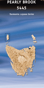
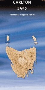
At this scale, 4cm on this map represents 1km on the ground. A standard map (which is square) covers an area of approximately about 12.5km by 12.5km, with a contour interval of 10m. This map contains natural and constructed features including road and rail infrastructure, vegetation, hydrography, contours, localities and some administrative boundaries.
Cambock Elkington Lilyburn Andora Blanchfield Greenwood Yurunga Rockliffe Vale Patterdale Pine View Narang Horefield Hampden Baythorne Symmons Plains Lochmaben Clarendon Coolmore Evandale Ben Balls Island Berresford Reserve Black Forest Black Forest Creek Blackmans Creek Boyes Creek Buffalo Park Cherry Tree Bottom Coolmore Creek Deddington Eeles Corner Falls Park Gelignite Hill Glen Stuart Sugarloaf Golden Gully Creek Gully Run Hill Hampden Bluff Kayes Bridge Lilyburn Bridge Lowes Mount Marathon Creek Morven Park Neck of the Bottle Nile Nile River Pinners Pine Pioneer Park Pykes Hill Saddlers Reserve Triangle Flats William John Hawley Reserve Bodens Hill Cow Plain Jacobs Creek Blackman Rivulet Ben Stuart
| Title | Pdf Download |
|---|