TAS 5231 – Oatlands Supply
- Estimated Delivery : Up to 4 business days
- Free Shipping & Returns : On all orders over $200
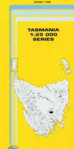
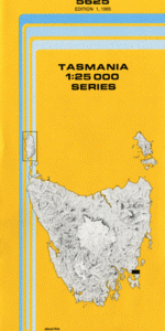
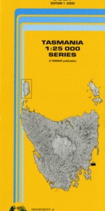
This Topographic Map is produced by the Department of Primary Industries, part of the Tasmanian Government.
These maps are an important resource for Government, industry, and the public. They are used for environmental and emergency management, farm planning and mineral exploration. They are also popular for recreational users such as bushwalkers, mountain bike and horse riders.
The PDF version of this can be printed at home or sent to a professional printer for a 100% scale reproduction.
At this scale, 4cm on this map represents 1km on the ground. A standard map (which is square) covers an area of approximately about 12.5km by 12.5km, with a contour interval of 10m. This map contains natural and constructed features including road and rail infrastructure, vegetation, hydrography, contours, localities and some administrative boundaries.
Pheverton Fernleigh Daisymead St Peters Pass Rockville Kellows Waverley Wallace Drayton Weedington Braeside Waverley Lodge Anstey Barton Leithwalk Mentone Spring Valley Belle Vue Dalkeith Treveen Verwyn Pleasant Park Glastonbury Lemon Springs Lemon Hill Oshea Hilly Park Lilliesleaf Sunnyside Melrose Lowick Fernhurst Austral Park Oatlands Parattah Alum Springs Hill Andover Double Rock Point Dulverton Rivulet Bacons Bay Blyths Bridge Bradys Cave Burburys Hill Burnt Log Gully Callington Mill Historic Site Chimney Hill Coal Mine Hill Coldblow Hill Crows Nest Espies Hills Exminister Ridge Fernleigh Hill First Point Freds Point Front Springs Hill Green Hill Rivulet Gullivers Hills Gullivers Lagoon Handsome Sugarloaf Hawthorn Bay Lake Dulverton Lake Dulverton Conservation Area Leithwalk Hills Lightwood Creek Longs Lagoon Mahers Point Marys Island Mill Point Mongos Spur Mount Anstey Mount Seymour Nala Netting Creek Northumbria Hill Oatlands Golf Course Pages Tier Parattah Creek Petherton Creek Red Rocks Gully Ropewalk Flat Round Lagoon Sawyers Ridge Tramline Flats Weedings Hill Weedings Lagoons Woodbine Hill Austral Park Dam Bayford Ceres Dam Gordon Valley Green Hill Green Sugarloaf Murderers Plain Red Rock Creek Scrubby Hill The Glebe
| Title | Pdf Download |
|---|