TAS 5042 – Dilston Sale
- Estimated Delivery : Up to 4 business days
- Free Shipping & Returns : On all orders over $200
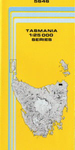
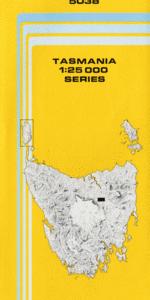
This Topographic Map is produced by the Department of Primary Industries, part of the Tasmanian Government.
These maps are an important resource for Government, industry, and the public. They are used for environmental and emergency management, farm planning and mineral exploration. They are also popular for recreational users such as bushwalkers, mountain bike and horse riders.
The PDF version of this can be printed at home or sent to a professional printer for a 100% scale reproduction.
At this scale, 4cm on this map represents 1km on the ground. A standard map (which is square) covers an area of approximately about 12.5km by 12.5km, with a contour interval of 10m. This map contains natural and constructed features including road and rail infrastructure, vegetation, hydrography, contours, localities and some administrative boundaries.
Los Angelos Highfield Emoh Ruo Green Valley Burnside Thorp Garden View Morning Glory Dairymead Dilston Legana Atkinsons Creek Barbers Bottom Barnards Point Bennies Hill Bouchers Creek Bouchers Creek Conservation Area Britannia Rock Browns Bluff Butchers Creek Cimitiere Point Coldwater Creek Coldwater Creek Junction Coulsons Creek Dido Creek Doctors Rise Dog Point Finger Post Hill Freshwater Point Grindelwald Gaunts Hill Holloways Hill Humbug Reach Lady Nelson Creek Landfall Hill Legana Beach Loch Lea Lone Pine Point Muddy Creek Nelsons Shoal Pedders Point Prossers Forest Rocherlea Rocherlea Hill Rosevears Saltwater Creek Station Creek Symons Creek Tamar Conservation Area Tamar Island Underwood Windermere Witches Hollow Barnards Creek Bridge Coulsons Creek Bridge Dans Marsh Doctors Meadows Hollybank Forest Reserve Lady Nelson Creek Bridge Lady Nelson Forest Reserve Muddy Creek Bridge Muddy Plains Nelson Creek Siding Pipers River Bridge Pipers River Forest Reserve Pleasant Hills Russells Plain Squires Flat Symons Creek Bridge Turners Marsh Turner Marsh Turners Marsh Lower Turners Marsh Siding Stony Creek Nelson Creek Fresh Water Point Barnard Creek
| Title | Pdf Download |
|---|