TAS 5038 – Cressy Online
- Estimated Delivery : Up to 4 business days
- Free Shipping & Returns : On all orders over $200
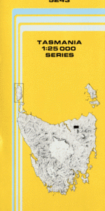
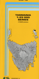
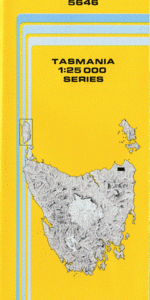
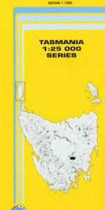
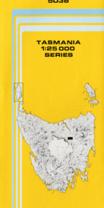
This Topographic Map is produced by the Department of Primary Industries, part of the Tasmanian Government.
These maps are an important resource for Government, industry, and the public. They are used for environmental and emergency management, farm planning and mineral exploration. They are also popular for recreational users such as bushwalkers, mountain bike and horse riders.
The PDF version of this can be printed at home or sent to a professional printer for a 100% scale reproduction.
At this scale, 4cm on this map represents 1km on the ground. A standard map (which is square) covers an area of approximately about 12.5km by 12.5km, with a contour interval of 10m. This map contains natural and constructed features including road and rail infrastructure, vegetation, hydrography, contours, localities and some administrative boundaries.
Brooklyn Maldon Thirlstane Cressy House Chintah Gayfield Inglewood Ashton Murfettville Richmond Hill Panshanger Longdown Sunny Plains Woodlands Alanvale Bronte Hyde Park Tovell Woodburn Chipping Hill Burlington House Mayfield Farm The Lancefield Bannockburn Smithfield Emu Plains Woodfield Eastfield Oban Kilrae Croftside Savannah Fairfield Cressy Bell Post Corner Brumbys Weir 1 Brumbys Weir 2 Brumbys Weir 3 Hummocky Hills Lake River Lees Bridge Longford East Base Powranna Nature Reserve Westmoor Bridge Poor Mans Creek Poormans Corner Bridge Brumby Creek Brumbys Weir Three Brumbys Weir Two Brumbys Weir One
| Title | Pdf Download |
|---|