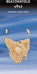
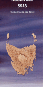
TAS 5023 – Huonville Sale
- Estimated Delivery : Up to 4 business days
- Free Shipping & Returns : On all orders over $200
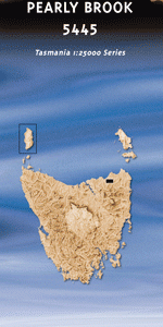
This Topographic Map is produced by the Department of Primary Industries, part of the Tasmanian Government.
These maps are an important resource for Government, industry, and the public. They are used for environmental and emergency management, farm planning and mineral exploration. They are also popular for recreational users such as bushwalkers, mountain bike and horse riders.
The PDF version of this can be printed at home or sent to a professional printer for a 100% scale reproduction.
At this scale, 4cm on this map represents 1km on the ground. A standard map (which is square) covers an area of approximately about 12.5km by 12.5km, with a contour interval of 10m. This map contains natural and constructed features including road and rail infrastructure, vegetation, hydrography, contours, localities and some administrative boundaries.
Bently Lorraine Wattle Bank Ninnamoora Huonville Ranelagh Allens Rivulet Apex Park Barretts Creek Basin Hill Cannells Hill Cataract Falls Chicks Perch Cranes Rock Dillons Creek Egg Islands Egg Islands Conservation Area Falls Hill Flynns Creek Fogarty Creek Franklin Glen Bridge Hagues Gully Herons Point Herringback Hickmans Hill Huon Lawn Cemetery Huon Valley Golf Course Huonville Bridge Ironstone Creek Kaoota Kellaways Creek Kiernans Falls Kingborough Council Knotts Hill Linnells Creek Margate Plain Margate Rivulet Melville Creek Mosquito Point Mountain River Musketts Corner Nierinna North West Bay River O Briens Hill Paradise Hill Parsons Creek Pelverata Pelverata Creek Pelverata Falls Perrins Ridge Platypus Creek Poverty Gully Red Hill Rimons Creek Roberts Bluff Sam Smiths Hill Sherwood Hill Sherwood Hill Conservation Area Shorts Hill Skinners Creek Slide Creek Slippery Creek Snug Creek Snug Falls Snug Falls Nature Recreation Area Snug Plains Snug River Snug Tiers Snug Tiers Nature Recreation Area Southbridge Square Hill Thomson Creek Tramway Hill Tramway Hill Reserve Upper Woodstock Victoria Creek Wallers Hill Waltons Inlet Wellings Hill Wilcox Creek Wilmot Bridge Woodstock Bridal Veil Fall Chicks Perch Forest Reserve Clarks Rivulet Bridge Ironstone Creek Bridge Kellaways Creek Bridge Mountain River Bridge Scenic Hill Electrona Clarke Rivulet Clark Rivulet Sandfly Rivulet The Egg Islands
| Title | Pdf Download |
|---|