TAS 4429 – Wylds Hot on Sale
- Estimated Delivery : Up to 4 business days
- Free Shipping & Returns : On all orders over $200
This Topographic Map is produced by the Department of Primary Industries, part of the Tasmanian Government.
These maps are an important resource for Government, industry, and the public. They are used for environmental and emergency management, farm planning and mineral exploration. They are also popular for recreational users such as bushwalkers, mountain bike and horse riders.
The PDF version of this can be printed at home or sent to a professional printer for a 100% scale reproduction.
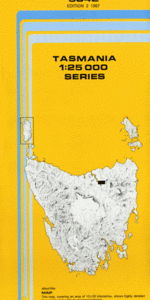
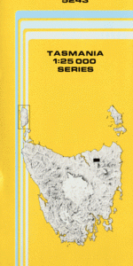
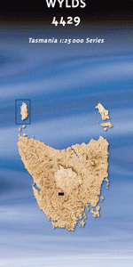
At this scale, 4cm on this map represents 1km on the ground. A standard map (which is square) covers an area of approximately about 12.5km by 12.5km, with a contour interval of 10m. This map contains natural and constructed features including road and rail infrastructure, vegetation, hydrography, contours, localities and some administrative boundaries.
Bonds Craig Chaplin Creek Chinners Lookout Coles Creek Crooked Lake Denison Gap Denison Range Florentine River Glow Worm Creek Goodwins Moor Gordon Range Hanging Lake Hunns Creek Lake Malana Lake Murray Lake Wugata Lake Wurawina McLeods Creek Misery Creek Misery Plateau Mount Dawson Poyina Tarn Reeds Peak Squirrel Creek Staircase Rocks Timbs Ridge Vale Of Rasselas Wylds Craig Frankcombe Cave Little Gell Lookout
| Title | Pdf Download |
|---|