TAS 4243 – Kindred Online Sale
- Estimated Delivery : Up to 4 business days
- Free Shipping & Returns : On all orders over $200
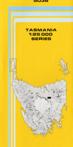
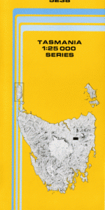
This Topographic Map is produced by the Department of Primary Industries, part of the Tasmanian Government.
These maps are an important resource for Government, industry, and the public. They are used for environmental and emergency management, farm planning and mineral exploration. They are also popular for recreational users such as bushwalkers, mountain bike and horse riders.
The PDF version of this can be printed at home or sent to a professional printer for a 100% scale reproduction.
At this scale, 4cm on this map represents 1km on the ground. A standard map (which is square) covers an area of approximately about 12.5km by 12.5km, with a contour interval of 10m. This map contains natural and constructed features including road and rail infrastructure, vegetation, hydrography, contours, localities and some administrative boundaries.
Braeside Fairview Highfield Cymbrook Megara Trees Sunnybanks Morgenvue Bolero Enfield Swan Hill Pine Hill Clayton Dale Forth Abbotsham Alma Bridge Alma Bridge Reserve Dooleys Falls Bannons Bridge Bannons Park Barren Knob Bella-Macargee Creek Bella-Macargee Falls Bishops Creek Champion Park Clerke Plains Foggs Bridge Foggs Flat Frenchs Bridge Forth Weir Forthside Forthside Hill Fulton Creek Fulton Park Gawler River Geales Hill Goldie Creek Gunns Plains Sugarloaf Hamilton Rivulet Healeys Gully Hogg Creek Isandula Plantation Kerrison Creek Kindred Kindred Creek Kindred Falls Lake Isandula Leven Hill McKenna Creek Melrose Melrose Creek Melrose Tram Moreton North Motton Orchard Creek Paloona Paloona Bridge Porcupine Hill Radford Creek River Leven South Conservation Area Rogers Creek Sayers Hill Sayers Ripple Sith Cala Conservation Area Sith Cala Nature Reserve Spalford Sprent Stan Wing Lookout Victoria Park West Gawler River Wilmot Road Conservation Area Wilsonia Creek Alma Bella-Macargee Dial Range Forest Reserve Forth River Bridge Forthside Falls Frederick Hill Isandula Creek Kindred Plains Leven Miners Row Porcupine Hill Forest Reserve Serpentine Creek Wilsonia Hamilton on Forth Cateena Camp Creek Wallon Creek Wilmot River
| Title | Pdf Download |
|---|