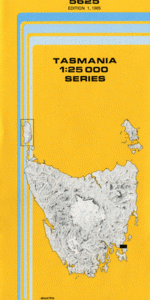
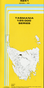
TAS 4241 – Wilmot For Sale
- Estimated Delivery : Up to 4 business days
- Free Shipping & Returns : On all orders over $200
This Topographic Map is produced by the Department of Primary Industries, part of the Tasmanian Government.
These maps are an important resource for Government, industry, and the public. They are used for environmental and emergency management, farm planning and mineral exploration. They are also popular for recreational users such as bushwalkers, mountain bike and horse riders.
The PDF version of this can be printed at home or sent to a professional printer for a 100% scale reproduction.
At this scale, 4cm on this map represents 1km on the ground. A standard map (which is square) covers an area of approximately about 12.5km by 12.5km, with a contour interval of 10m. This map contains natural and constructed features including road and rail infrastructure, vegetation, hydrography, contours, localities and some administrative boundaries.
Egmont Fairview Benella Wantirna Billet Creek Claude Road Clerkes Hill Cupron Creek Davies Creek Erriba Excells Creek Forth Falls Forth Falls Creek Forth Falls Creek Conservation Area Forth Falls State Reserve Jacksons Creek Jarmans Creek Kellys Creek Kentish Council Kentish Park Lake Barrington Lake Barrington Nature Recreati … Lake Nowhere Else Luttrells Point Murfets Creek Narrawa Narrawa Road Conservation Area New Year Plain Nowhere Else Promised Land Quailes Hill Roland Shackley Hill South Nietta Staverton Weeks Flat Weeks Reach West Kentish Wilmot Wilmot Plantation Winters Bridge York Creek Deep Creek Bridge Promised Land Forest Reserve Staverton Forest Reserve Tabernacle Corner Green Hillock Point Falls Creek Lake Barrington Nature Recreation Area Moina
| Title | Pdf Download |
|---|