TAS 4238 – Borradaile Online Sale
- Estimated Delivery : Up to 4 business days
- Free Shipping & Returns : On all orders over $200
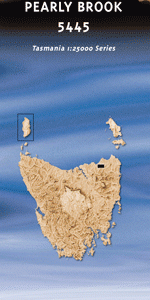
This Topographic Map is produced by the Department of Primary Industries, part of the Tasmanian Government.
These maps are an important resource for Government, industry, and the public. They are used for environmental and emergency management, farm planning and mineral exploration. They are also popular for recreational users such as bushwalkers, mountain bike and horse riders.
The PDF version of this can be printed at home or sent to a professional printer for a 100% scale reproduction.
At this scale, 4cm on this map represents 1km on the ground. A standard map (which is square) covers an area of approximately about 12.5km by 12.5km, with a contour interval of 10m. This map contains natural and constructed features including road and rail infrastructure, vegetation, hydrography, contours, localities and some administrative boundaries.
Arm Falls Arm River Dublin Creek Dublin Plain Borradaile Creek Borradaile Plains Foxglove Creek Gads Falls Gisbornes Hut Glovers Creek Hansons River Joe Bryans Creek Lake Parangana Lone Gum Plain Lone Gum Ridge Mersey Forest Miles Creek Parangana Sugarloaf Plough Hill Sardine Creek Selection Creek Snake Creek Walters Lookout Arm River Forest Reserve Borradaile Forest Reserve Declaration Creek Mersey White Water Forest Reserve Parangana Sugarloaf Forest Reserve Fisher River Hansen Creek Wiendorfer Creek Windorfer Creek
| Title | Pdf Download |
|---|