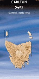
TAS 4035 – Dome on Sale
- Estimated Delivery : Up to 4 business days
- Free Shipping & Returns : On all orders over $200
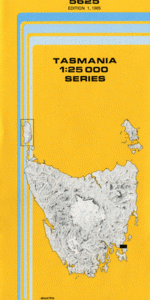
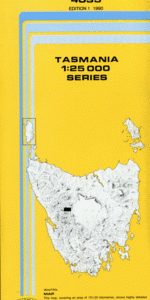
This Topographic Map is produced by the Department of Primary Industries, part of the Tasmanian Government.
These maps are an important resource for Government, industry, and the public. They are used for environmental and emergency management, farm planning and mineral exploration. They are also popular for recreational users such as bushwalkers, mountain bike and horse riders.
The PDF version of this can be printed at home or sent to a professional printer for a 100% scale reproduction.
At this scale, 4cm on this map represents 1km on the ground. A standard map (which is square) covers an area of approximately about 12.5km by 12.5km, with a contour interval of 10m. This map contains natural and constructed features including road and rail infrastructure, vegetation, hydrography, contours, localities and some administrative boundaries.
Castle Mountain Dombrovskis Tarns Dome Hill Eldon Bluff Fossil Hill Grassy Lake High Dome Horizontal Hill Lake Aeacus Lake Dorothy Lake Eos Lake Eurynome Lake Ewart Lake Helios Lake Hermes Lake Marion Lake Persephone Lake Scott Lake Tartarus Long Lake Macs Mountain Mount Eros Mount Hyperion Mount Nereus Robert Creek The Amphitheatre The Guardians The Labyrinth Walled Mountain Green Bluff Canning Creek Wallace River Eldon Range
| Title | Pdf Download |
|---|