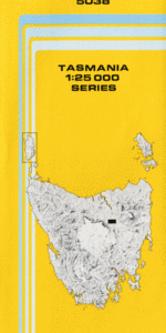
TAS 4026 – Serpentine Online Sale
- Estimated Delivery : Up to 4 business days
- Free Shipping & Returns : On all orders over $200
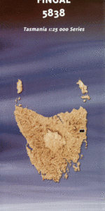
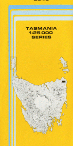
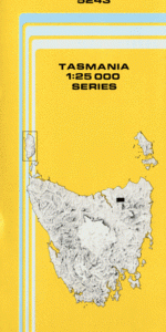
This Topographic Map is produced by the Department of Primary Industries, part of the Tasmanian Government.
These maps are an important resource for Government, industry, and the public. They are used for environmental and emergency management, farm planning and mineral exploration. They are also popular for recreational users such as bushwalkers, mountain bike and horse riders.
The PDF version of this can be printed at home or sent to a professional printer for a 100% scale reproduction.
At this scale, 4cm on this map represents 1km on the ground. A standard map (which is square) covers an area of approximately about 12.5km by 12.5km, with a contour interval of 10m. This map contains natural and constructed features including road and rail infrastructure, vegetation, hydrography, contours, localities and some administrative boundaries.
Abel Gorge Albert River Allan Knight Power Station Bell Basin Bell Basin Narrows First Split Gordon Dam Intake Bay Knob Basin Mount Robert Mount Sprent Neils Tunnel Orange River Piguenit Rivulet Second Split Serpentine Dam Serpentine Gorge Serpentine River Snake Rapids Sprent Basin The Bell The Knob White Spur Inlet Albert Rapids Gordon Splits Lower Split Wilmot Range
| Title | Pdf Download |
|---|