TAS 3834 – Gormanston Fashion
- Estimated Delivery : Up to 4 business days
- Free Shipping & Returns : On all orders over $200
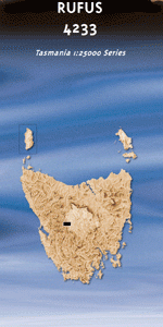
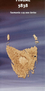
This Topographic Map is produced by the Department of Primary Industries, part of the Tasmanian Government.
These maps are an important resource for Government, industry, and the public. They are used for environmental and emergency management, farm planning and mineral exploration. They are also popular for recreational users such as bushwalkers, mountain bike and horse riders.
The PDF version of this can be printed at home or sent to a professional printer for a 100% scale reproduction.
At this scale, 4cm on this map represents 1km on the ground. A standard map (which is square) covers an area of approximately about 12.5km by 12.5km, with a contour interval of 10m. This map contains natural and constructed features including road and rail infrastructure, vegetation, hydrography, contours, localities and some administrative boundaries.
Queenstown Agglomerate Hill East Queen River Bull Rivulet Cape Horn Spur Cemetery Creek Chamouni Valley Comstock Valley Conglomerate Creek Cooneys Creek Dante Rivulet Eldon River Glover Creek Gormanston Horsetail Falls Idaho Creek Iron Blow Karlsons Gap Keratophyre Knob Lake Adam Lake Beatrice Linda Linda Creek Little Eldons Little Owen Long Marsh Lyell Comstock Creek Marble Bluff McCusick Creek Moore Creek Mount Lyell Mount Owen Creek Mount Sedgwick North Owen Peak Owen Spur Philosophers Ridge Princess River Princess River Conservation Area Queenstown Regional Reserve Reservoir Creek Sedgwick Bluff West Coast Council Whites Creek Zig Zag Hill Conglomerate Creek Bridge Crown Mine King River Picnic Ground Linda Creek Bridge Linda Falls Mount Lyell Mine Mount Owen Creek Bridge Queen River Bridge The Lawn Crown Hill South Eldon River Danube Creek Comstock Creek
| Title | Pdf Download |
|---|