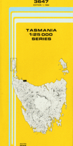
TAS 3647 – Rocky Cape Hot on Sale
- Estimated Delivery : Up to 4 business days
- Free Shipping & Returns : On all orders over $200
This Topographic Map is produced by the Department of Primary Industries, part of the Tasmanian Government.
These maps are an important resource for Government, industry, and the public. They are used for environmental and emergency management, farm planning and mineral exploration. They are also popular for recreational users such as bushwalkers, mountain bike and horse riders.
The PDF version of this can be printed at home or sent to a professional printer for a 100% scale reproduction.
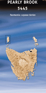
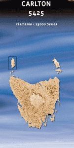
At this scale, 4cm on this map represents 1km on the ground. A standard map (which is square) covers an area of approximately about 12.5km by 12.5km, with a contour interval of 10m. This map contains natural and constructed features including road and rail infrastructure, vegetation, hydrography, contours, localities and some administrative boundaries.
Crayfish Creek Hellyer Anniversary Bay Anniversary Point Doone Creek Doone Falls Edgcumbe Beach Edgcumbe Beach Conservation Area Banksia Grove Betts Falls Blackboy Hill Blackfish Creek Blandfordia Spur Blue Rocks Point Brickmakers Bay Brickmakers Plain Britton Park Broadview Hill Burgess Cove Carrolls Creek Castle Rock Cathedral Hill Cathedral Rocks Cave Bay Chapmans Creek Cow and Calf Rocks Cowrie Point Crayfish Creek Beach Crayfish Creek Conservation Area Dallas Hill Detention Detention Plain Detention River Conservation Area Five Sentries Flagpole Hill Forwards Beach Forwards Beach Conservation Area Forwards Plain Half Tide Rock Harris Creek Hellyer Beach Hellyer Plain Hellyer Siding Hook Creek Irby Flats Kens Creek Lee-Archer Cave Little Peggs Beach Little Peggs Beach State Reserve Mary Ann Cove Mawbanna Plain Mawbanna Siding Myoora Park North Cave Pebbly Bay Picnic Beach Port Latta Postmans Pass Razor Beach Razorback Rocky Cape Rocky Cape Beach Rocky Cape Light Rocky Cape National Park Saddleback Hill Sisters Beach Sisters Island Sisters Island Conservation Area South Cave Spicers Lookout The Gut Tinkers Lookout Wet Cave Wet Cave Point Wilsons Creek Yanns Flats Big Bend Cavern Cliff Crayfish Creek Bridge Crayfish Creek Forest Reserve Detention River Bridge Gaffneys Bridge Gentle Annie Valley Gophers Head Heathy Hills King Billy Cave Shag Rock Shell Beach Stinking Creek The Saddle Wilson Creek Bridge Rocky Head Detention River Detension River
| Title | Pdf Download |
|---|