TAS 3640 – Luina Online
- Estimated Delivery : Up to 4 business days
- Free Shipping & Returns : On all orders over $200
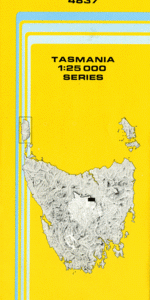
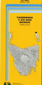
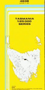
This Topographic Map is produced by the Department of Primary Industries, part of the Tasmanian Government.
These maps are an important resource for Government, industry, and the public. They are used for environmental and emergency management, farm planning and mineral exploration. They are also popular for recreational users such as bushwalkers, mountain bike and horse riders.
The PDF version of this can be printed at home or sent to a professional printer for a 100% scale reproduction.
At this scale, 4cm on this map represents 1km on the ground. A standard map (which is square) covers an area of approximately about 12.5km by 12.5km, with a contour interval of 10m. This map contains natural and constructed features including road and rail infrastructure, vegetation, hydrography, contours, localities and some administrative boundaries.
Heazlewood Cleveland Mine Arthur Dam Aylett Creek Bells Reward Creek Boarding House Creek Burgess Creek Champion Heath Coldstream River Crescent Spur Godkin Ridge Hay Creek Hobbit Creek Knole Plain Little Castray River Luina Madeline Creek Moor Creek Mount Bell Netherby Creek Nine Mile Creek Palmer Creek Philosopher Falls Prouse Creek Pryde Creek Ramsay River Silver Creek Stab Creek Summer Creek Thirteen Mile Creek Three Falls Creek Walsh Creek Waratah Reservoir Washington Creek Whyte Hill Wombat Creek Wombat Flat Wombat Hill Arthur River Bridge Badger Plain Campbell Creek Coldstream Rivulet Doctors Creek South Cleveland Lookout Whyte River Bridge Hazlewood River Heazelwood River
| Title | Pdf Download |
|---|