TAS 3636 – Dundas Fashion
- Estimated Delivery : Up to 4 business days
- Free Shipping & Returns : On all orders over $200
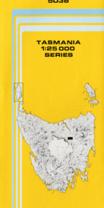
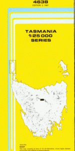
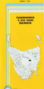
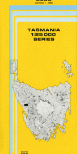
This Topographic Map is produced by the Department of Primary Industries, part of the Tasmanian Government.
These maps are an important resource for Government, industry, and the public. They are used for environmental and emergency management, farm planning and mineral exploration. They are also popular for recreational users such as bushwalkers, mountain bike and horse riders.
The PDF version of this can be printed at home or sent to a professional printer for a 100% scale reproduction.
At this scale, 4cm on this map represents 1km on the ground. A standard map (which is square) covers an area of approximately about 12.5km by 12.5km, with a contour interval of 10m. This map contains natural and constructed features including road and rail infrastructure, vegetation, hydrography, contours, localities and some administrative boundaries.
Zeehan Adelaide Mine Creek Argent Tunnel Dundas Avon Creek Baker Creek Bather Creek Black Hill Bookers Creek Carbine Hill Climie Creek Comet Creek Commonwealth Hill Concert Creek Confidence Saddle Conliffe Creek Copper Knob Crotty Ridge Regional Reserve Cuni Creek Dobson Creek Eileen Joyce Reserve Fernfields Creek Frazer Creek Frazer Falls Great Northern Creek Godkin Spur Henty Canal Henty Dam Johnston Creek Jones Creek Judith Creek Kapi Creek Keel Ridge King Hill Koonya Creek Kosminski Hill Lake Henty Lake Johnston Lake Johnston Nature Reserve Leslie Station Creek Manganese Hill Mariposa Creek Melba Creek Melba Flats Melba Siding Misery Hill Montana Hill Montezuma Creek Montezuma Falls Moores Pimple Mount Dundas Mount Hamilton Mount Razorback Mount Read Nevada Creek North East Dundas Tramway Parting Creek Parting Creek Lake Parting Creek Regional Reserve Pine Hill Rawlinson Falls Rayna Rayna Flats Ringville Scotts Creek Serpentine Hill Severn Creek Silver Lead Creek Sligo Creek South Comet Creek Stichtite Creek Svengali Falls Tipperary Creek White Spur White Spur Canal White Spur Creek White Spur Dam White Spur Lake Williamsford Zeehan Golf Course Zeehan Rivulet Dundas Rivulet Bridge Emu Bay Line Five Mile Hercules Mine Leslie Station Creek Bridge Little Henty River Bridge Red Lead Mine Zeehan Airstrip Zeehan Rivulet Bridge Ring River
| Title | Pdf Download |
|---|