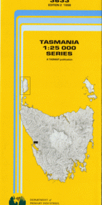
TAS 3633 – Strahan Hot on Sale
- Estimated Delivery : Up to 4 business days
- Free Shipping & Returns : On all orders over $200
This Topographic Map is produced by the Department of Primary Industries, part of the Tasmanian Government.
These maps are an important resource for Government, industry, and the public. They are used for environmental and emergency management, farm planning and mineral exploration. They are also popular for recreational users such as bushwalkers, mountain bike and horse riders.
The PDF version of this can be printed at home or sent to a professional printer for a 100% scale reproduction.
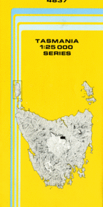
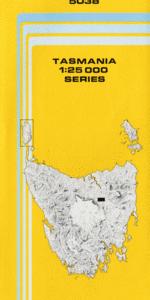
At this scale, 4cm on this map represents 1km on the ground. A standard map (which is square) covers an area of approximately about 12.5km by 12.5km, with a contour interval of 10m. This map contains natural and constructed features including road and rail infrastructure, vegetation, hydrography, contours, localities and some administrative boundaries.
Strahan Beehive Creek Blackwood Creek Botanical Creek Burgess Rivulet Cradle Creek Dart Point Defriez Bay Fleabite Creek Gorings Creek Halls Creek Harpers Hill Harveys Creek Hogarth Falls Hospital Creek John Butters Power Station Lettes Bay Little Tully River Long Bay Lynchford Magazine Point Magazine Point Conservation Area Manuka River Minx Point Misery Flat Morse Bay Newall Creek Peevers Creek Peoples Park Porteus Creek Princess Creek Purdys Creek Quail Creek Queen River Queenstown Golf Course Regatta Point Rinadeena Saddle Risby Cove Sailor Jack Creek Signal Point South Queenstown Specimen Creek Starting Creek Strahan Customs House Historic Site Strahan Golf Course Strahan Harbour Strahan Point Sulphide Creek Tully River Virginia Creek War Memorial Park Water Tower Hill West Strahan West Strahan Beach Woody Hill Yolla Point Manuka Creek Bridge Princess Falls Rinadeena Stella Siding South Branch Tully River Lynchford Siding Stella Manuka Creek Newell Creek Garfield River Currie River
| Title | Pdf Download |
|---|