TAS 3533 – Henty Hot on Sale
- Estimated Delivery : Up to 4 business days
- Free Shipping & Returns : On all orders over $200
This Topographic Map is produced by the Department of Primary Industries, part of the Tasmanian Government.
These maps are an important resource for Government, industry, and the public. They are used for environmental and emergency management, farm planning and mineral exploration. They are also popular for recreational users such as bushwalkers, mountain bike and horse riders.
The PDF version of this can be printed at home or sent to a professional printer for a 100% scale reproduction.
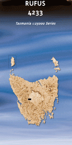
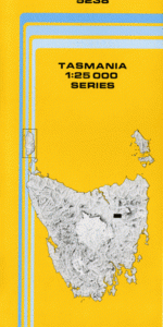
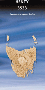
At this scale, 4cm on this map represents 1km on the ground. A standard map (which is square) covers an area of approximately about 12.5km by 12.5km, with a contour interval of 10m. This map contains natural and constructed features including road and rail infrastructure, vegetation, hydrography, contours, localities and some administrative boundaries.
Fabritong Rivulet Geologist Creek Henty Bridge Henty Dunes Koyule Flat Lake Ashwood Lake Bantick Lake Bellinger Lake Garcia Lake Koonya Lake Mallanna Lake Strahan Little Bellinger Mill Bay Ocean Beach Ocean Beach Conservation Area Powell Siding Sand Dunes Picnic Ground Strahan Aerodrome Strahan Plantation Tully River Conservation Area Beach Road Siding Bellinger Siding Firewood Siding Fowlers Siding Henty Forest Reserve Henty Siding Koyule Siding Mallanna Fowlers Henty River Koyule Tully River Henty Bellinger
| Title | Pdf Download |
|---|