TAS 3445 – Tayatea For Discount
- Estimated Delivery : Up to 4 business days
- Free Shipping & Returns : On all orders over $200
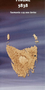
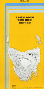
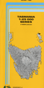
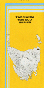
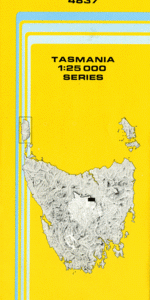
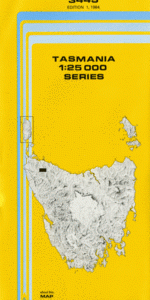
This Topographic Map is produced by the Department of Primary Industries, part of the Tasmanian Government.
These maps are an important resource for Government, industry, and the public. They are used for environmental and emergency management, farm planning and mineral exploration. They are also popular for recreational users such as bushwalkers, mountain bike and horse riders.
The PDF version of this can be printed at home or sent to a professional printer for a 100% scale reproduction.
At this scale, 4cm on this map represents 1km on the ground. A standard map (which is square) covers an area of approximately about 12.5km by 12.5km, with a contour interval of 10m. This map contains natural and constructed features including road and rail infrastructure, vegetation, hydrography, contours, localities and some administrative boundaries.
Forestry Base Camp Arthur River Blackfellows Crossing Boundary Creek Dollie Creek Faheys Creek Fly Creek Francis Creek Gibson Plains Grafters Creek Gun Creek Harry Ryan Creek Joiner Creek Lairds Creek Melin Rivulet Nolan Creek Orphan Creek Pistol Creek Pop Gun Creek Spinks Rise Tayatea Bridge Tayatea Picnic Ground Teapot Hill Trowutta Arch Trowutta Caves State Reserve Wedge Plains Arthur Plains Duck River Forest Reserve
| Title | Pdf Download |
|---|