TAS 3432 – Kelly on Sale
- Estimated Delivery : Up to 4 business days
- Free Shipping & Returns : On all orders over $200
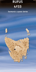
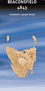
This Topographic Map is produced by the Department of Primary Industries, part of the Tasmanian Government.
These maps are an important resource for Government, industry, and the public. They are used for environmental and emergency management, farm planning and mineral exploration. They are also popular for recreational users such as bushwalkers, mountain bike and horse riders.
The PDF version of this can be printed at home or sent to a professional printer for a 100% scale reproduction.
At this scale, 4cm on this map represents 1km on the ground. A standard map (which is square) covers an area of approximately about 12.5km by 12.5km, with a contour interval of 10m. This map contains natural and constructed features including road and rail infrastructure, vegetation, hydrography, contours, localities and some administrative boundaries.
Back Channel Bird Islets Bonnet Bay Bonnet Island Bowra Rock Braddon Point Camp Point Cape Sorell Cape Sorell Historic Site Cape Sorell Lighthouse Cat Island Channel Bay Channel Hill Charleys Beach Darktown Bay Edwards Bay Entrance Island Entrance Rock Fraser Flats Grandfathers Beach Goat Hill Hannants Bight Hells Gates Henry Point Heron Pond Karitane Rock Kawatiri Shoal Kelly Channel Kidney Cove Lucas Point Macquarie Heads Macquarie Heads Camping Ground Magazine Island Mosquito Cove Mount Antill Mount Obvious Napier Hills Neck Island Nigger Head Olsen Reef Pebbly Beach Pelican Spit Pilot Bay Pilot Beach Pine Corner Prater Rock River Point Round Head Skeeter Creek Smith Cove Split Rock Spur Point Surging Point Swan Basin Swan Basin Picnic Ground Swan Basin Plantation Teal Pond The Cap The Grandfathers Tiddys Beach Tidegauge Rock Trumpeter Point Trumpeter Rock Turners Rock Watts Hill Wellington Head Whale Rock Wooding Point Yellow Bluff Bell Hill Braddon Bay Centre Hill Gate Hill Outer Bay Rock Island Twin Islands Cape Sorrell Bonnet Islet
| Title | Pdf Download |
|---|