TAS 3052 – Keraudren For Sale
- Estimated Delivery : Up to 4 business days
- Free Shipping & Returns : On all orders over $200
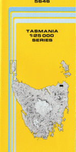
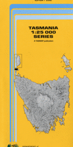
This Topographic Map is produced by the Department of Primary Industries, part of the Tasmanian Government.
These maps are an important resource for Government, industry, and the public. They are used for environmental and emergency management, farm planning and mineral exploration. They are also popular for recreational users such as bushwalkers, mountain bike and horse riders.
The PDF version of this can be printed at home or sent to a professional printer for a 100% scale reproduction.
At this scale, 4cm on this map represents 1km on the ground. A standard map (which is square) covers an area of approximately about 12.5km by 12.5km, with a contour interval of 10m. This map contains natural and constructed features including road and rail infrastructure, vegetation, hydrography, contours, localities and some administrative boundaries.
Aeroplane Corner Albatross Island Albatross Island Nature Reserve Bears Island Big Lagoon Burgess Point Cape Keraudren Chimney Corner Coulomb Bay Dangerous Bank Granite Hill Golden Beach Peacock Valley Ranger Point Rendezvous Lagoon Signal Hill Spiers Bay Spiers Nook Swan Lagoon Three Hummock Island State Reserve West Telegraph Beach West Telegraph Creek Bull Paddock Hill Snake Gully Whale Inlet
| Title | Pdf Download |
|---|