PNG 674 – Approaches To Kimbe Including Buluma Online
- Estimated Delivery : Up to 4 business days
- Free Shipping & Returns : On all orders over $200
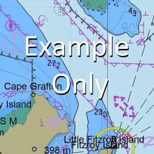
This official Nautical Chart is produced by the Australian Hydrographic Office, and corrected fortnightly to Notice to Marines by Cairns Charts & Maps. This ensures it remains compliance with Safety of Navigation requirements. This marine chart, or sea map , is primarily produced to support the safe navigation of commercial shipping through Australian, Papua New Guinea and Solomon Island waters.
Nautical charts depict the seabed, or bathymetry, using a variety of colours to shade the depth regions. Darker blues indicate shallower water, while light blues and white indicate deeper water. A chart will also show continuous contour lines (at varying intervals depending on the scale of the chart), spot depths across the whole area, as well as different symbols indicating wrecks, shallow rocks and dangers, as well as details on lights, light houses, tides and currents.
For extensive detail on the symbology of nautical charts, the Symbols and Abbreviations used on Admiralty Charts is the definitive reference.
Wandoro Plantation Walkesi Creek Walindi River Wali Creek Mount Wago Vuveni Creek Tuveni Creek Tarakeli Creek Takarapi Creek Taipipi Creek Stettin Bay Stetin Bay Sirito Creek Ruango Roberts Reef Reeson Reef Rapuni Creek Paluma Reefs Mount Oto Mount Otto Numundo Island Mount Mululus Mululus Mowen Reef Morokia Moaiaki Creek Megigi Plantation Matavulu Plantation Mount Matalelok Margetts Reef Manley Reef Mai Mission Mac Cullock Point McCullock Point Lovo River Lavilelo Kwalakesi Kwalakessi Kulungi Kulingai Ko River Kimbe Kiki Creek Kalki River Hoskins HKN Hogu Reef Grabo Reef Gigo Point Gavuvu River Gaungo Gonga Gongo Ganuka River Galoale Fish Reef Deception Point Dami Research Station Dami Forestry Experimental Station Dalavu Creek Dagi River Dage River Buluma Sawmill Buluma Baluma Benaule Number 2 Benaule Kimbe Bay Hotel KIMBE BAY HOTEL Hoskins Airport AYHK Kualakesi
| Title | Paper, Flat Paper, Laminated |
|---|
Related products
-
GA 8785 – Wasum Online Sale
$12.50 -
GA 8786 – Aria on Sale
$12.50