PNG 673 – Dampier Strait Online now
- Estimated Delivery : Up to 4 business days
- Free Shipping & Returns : On all orders over $200
This official Nautical Chart is produced by the Australian Hydrographic Office, and corrected fortnightly to Notice to Marines by Cairns Charts & Maps. This ensures it remains compliance with Safety of Navigation requirements. This marine chart, or sea map , is primarily produced to support the safe navigation of commercial shipping through Australian, Papua New Guinea and Solomon Island waters.
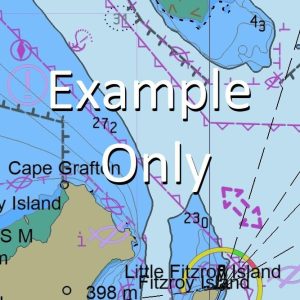
Nautical charts depict the seabed, or bathymetry, using a variety of colours to shade the depth regions. Darker blues indicate shallower water, while light blues and white indicate deeper water. A chart will also show continuous contour lines (at varying intervals depending on the scale of the chart), spot depths across the whole area, as well as different symbols indicating wrecks, shallow rocks and dangers, as well as details on lights, light houses, tides and currents.
For extensive detail on the symbology of nautical charts, the Symbols and Abbreviations used on Admiralty Charts is the definitive reference.
Yangla Witnari Wilnari Warimo Waremo Walawalapua Walwalapua Vassee Island Cape Umboi Tuam Island Tauali Mount Tangi Mount Tangis Tamun Island Tambiu Island Mount Talawe Sirik Island Simban River Siassi Islands Sakar Island Ginges Tupinier Insel Tupinier Island Sag Sag Ritter Island Potne Poini Potni Ongaia Nesup Island Nesup Channel Matamalau Island Motamalau Island Massmass Island Marli Marien Harbour Mandok Island Laut Mount Langla Mount Langila Lagunen Point Lagoon Point Kilenge Mission Kampalap Kampalab Kumbalup Grass Point Graah Point Cape Gloucester Gima River Aima River Gauru Garau Garu Galelum Island Enid Shoal Enid Patch Dorf Point Dingen Island Dampier Strait Dampier Strasse Birik Barik Aumo AUV Aromot Island Araltamu Island Annen Point Alice Reef Alairo Alaro Aisega Bay Aisega Aisago Aishiga Aisiga Aimaga Amaga Agulupella Ura Aimola Sagsag Bay Lablab LAB Lab Lab Mission Nbo River Kabi Aipati Mount Namur Palili
| Title | Paper, Flat Paper, Laminated |
|---|