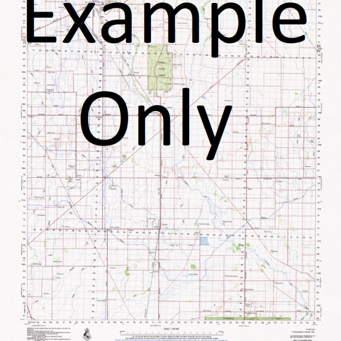
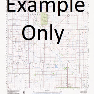
GA 8477 – Kalo Discount
- Estimated Delivery : Up to 4 business days
- Free Shipping & Returns : On all orders over $200
This Topographic Map is produced by Geoscience Australia; Australia s national geospatial organisation.
GA topographic maps (many of which are produced in partnership with the Army) are generally older than those maps produced by the State Governments over the same area. This makes GA maps particularly useful for identifying historic features, such as old mines and diggings.
Geoscience Australia maps generally considered to be more pleasing in design and compilation then the more modern State Government productions.
At this scale, 1cm on this map represents 1km on the ground. A standard map (which is square) covers an area of approximately 54km by 54km, with a contour interval of 20m. This map contains natural and constructed features including road and rail infrastructure, vegetation, hydrography, contours, localities and some administrative boundaries.
Please note the date of the map, as this will impact the currency of information, particularly regarding infrastructure, roads, etc.
Wolverine Entrance Wainegela River Wanigela River Rivigolo Hill Paramana Mamalo Makirupu Kukuli Korni Korni Creek Kore Kerepuna Keapara Kerepunu Keppel Point Kemp Welch River Kele Iruna Point Karo One Point One Point Kaparoko Kaparaka Kaparoka Kamali Kalo Irupara Point Irupara Ru-para Hula Hood Point Hood Lagoon Hood Bay Ellengowan Entrance Dundee River Central Province Central Central District Beagle Entrance Beagle Bay Palauai Palavai Babaga Bahaka Bahara Aroma Passage Animarupu Hill Amawai River Amawal River Amawat River Alewai
| Title | Paper, Laminated |
|---|
