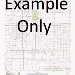
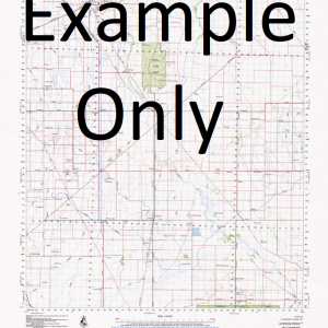
GA 7581 – Teapopo Hot on Sale
- Estimated Delivery : Up to 4 business days
- Free Shipping & Returns : On all orders over $200
This Topographic Map is produced by Geoscience Australia; Australia s national geospatial organisation.
GA topographic maps (many of which are produced in partnership with the Army) are generally older than those maps produced by the State Governments over the same area. This makes GA maps particularly useful for identifying historic features, such as old mines and diggings.
Geoscience Australia maps generally considered to be more pleasing in design and compilation then the more modern State Government productions.
At this scale, 1cm on this map represents 1km on the ground. A standard map (which is square) covers an area of approximately 54km by 54km, with a contour interval of 20m. This map contains natural and constructed features including road and rail infrastructure, vegetation, hydrography, contours, localities and some administrative boundaries.
Please note the date of the map, as this will impact the currency of information, particularly regarding infrastructure, roads, etc.
Wurio Urio Wederehiamo Wederihamo Wariura Island War Island Imarimuba Island Wariama Waliama Warima Wariabodora Waribodoro Wariobodoro Wamimuba Point Wakau Wagumi Tapapi Sumogi Island Sepi Purutu Island Pirutu Nikira Island Magabu Island Madiri Madame Madam Madaduo Kuragimini Island Kunagimini Islands Kuragimini Islands Kuruagimini Island Koabu Kaharaturi Keaburu Koharaturi Kimama Kesuguruguru Island Kenewa Kenadiba Kenediba Kebani Kaviapu Kavalpu Invitato Island Gebaro Island Fly River Delta Etere Dogope Island Daura Island Damera Damara Domara Baiabe Island Badu Island Marutiscrua Island Auti Asaramio Asaram Asarami Aramia Island Adulu Aduru Abo Island Aboi Island Aberagerema Kiwai Island KWX Nowata NWT Kenema Teapopo Uuwo U uwo Goodfred Island Kubira
| Title | Paper, Laminated |
|---|

