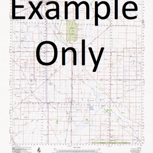
GA 7485 – Sisa Discount
- Estimated Delivery : Up to 4 business days
- Free Shipping & Returns : On all orders over $200
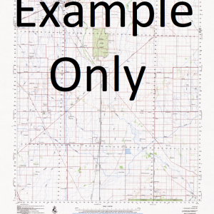
This Topographic Map is produced by Geoscience Australia; Australia s national geospatial organisation.
GA topographic maps (many of which are produced in partnership with the Army) are generally older than those maps produced by the State Governments over the same area. This makes GA maps particularly useful for identifying historic features, such as old mines and diggings.
Geoscience Australia maps generally considered to be more pleasing in design and compilation then the more modern State Government productions.
At this scale, 1cm on this map represents 1km on the ground. A standard map (which is square) covers an area of approximately 54km by 54km, with a contour interval of 20m. This map contains natural and constructed features including road and rail infrastructure, vegetation, hydrography, contours, localities and some administrative boundaries.
Please note the date of the map, as this will impact the currency of information, particularly regarding infrastructure, roads, etc.
Yandali Wowabi The Whale Back Wasu Creek Wasu Wanu Creek Wammai-Iu Wada River Wabimis Wabimise Ugumara Ubura Creek Tusuku Turubi Tunisagu Trunte Topani Tobo Terejaga Bridge Tefedi Tawanda Tari Pori Tani Tagari River Tari River Siwarima Mount Sisa Sirodubi Mount Rimi Mount Rima Poroyandale Pebei Creek Parepare Para Pami Padua Orabia Orahia OMalley Peaks O Malley Peaks Nari River Mingili Mindiete Maribu Mabo Creek Ludesa Mission Lubesa Ludesa Libano River Landslide Mountain Laite Kurukumbutei Kuru Creek Kungu Kono Number 2 Komo KOM Kengenadoibi Kanganesi 2 Kanganesi 1 Kabana Isawa River Iande Heoka Heora Hawauisi Hawanisi Golowa Creek Feriso Ferisa Firisa Embetali Ekailoa Egauwi Duna Doma Dofasu Dofasi Dagia River Bosavi Mission Bona Berisa Bakari River Awawra River Avia River Atare Angora Angore Aijagate Aijagaiba Adjmari Abo Creek Hela Komo Margarima Komo Margarima District Komo-Magarima Komo-Margarima Komo-Margarima District Komo Airfield
| Title | Paper, Laminated |
|---|

