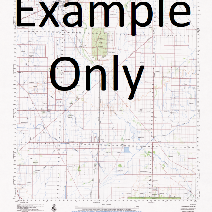
GA 7390 – Maimai Online Hot Sale
- Estimated Delivery : Up to 4 business days
- Free Shipping & Returns : On all orders over $200
This Topographic Map is produced by Geoscience Australia; Australia s national geospatial organisation.
GA topographic maps (many of which are produced in partnership with the Army) are generally older than those maps produced by the State Governments over the same area. This makes GA maps particularly useful for identifying historic features, such as old mines and diggings.
Geoscience Australia maps generally considered to be more pleasing in design and compilation then the more modern State Government productions.
At this scale, 1cm on this map represents 1km on the ground. A standard map (which is square) covers an area of approximately 54km by 54km, with a contour interval of 20m. This map contains natural and constructed features including road and rail infrastructure, vegetation, hydrography, contours, localities and some administrative boundaries.
Please note the date of the map, as this will impact the currency of information, particularly regarding infrastructure, roads, etc.
Yutabi Yulem Yula River Yirkin Yirkon Yimut Yiminum Yimin Yimduwi Yimauwi Yilui Yiliwambil Yili Yilau Creek Yerisi Yemnu Yemnu Villages Yemereba Yemerebo Yelbu River Yelbu Creek Yawaw-Rapaw Rapaw Yauaw Yankok Yankok Villages Yambil Yambil Hamlets Yakeltim Yakaltim Wulukum Wublagil Wosengim Wosapom Woloso Witweis Wititai Witikin Winaluk Wigir Creek Weteili Wetali West Branch Wagasu River Wagasu River West Branch Weranyuwok Wemil Wamil Weisin Weis Wesin Watwatin Creek Waru Creek Warin Warin Villages Wanyuan Creek Waniwomaka Waniwamaka Wanam Creek Wanali Wanali Hamlets Wamini Creek Wambiu Wambi Wombiu Wamala Creek Wamala River Walgon Waissisi Mission Wagir Creek Wagir River Veii Vei i Undu Ulap Uan Tumentonik Teremes Terames Telotei Tegra Tebali Telbali Talbipi Talbipi Villages Surimorta Sukel Creek Sinu Creek Simbap Seleput Seinam West Sepik Province Sandaun Sandaun Province West Sepih District West Sepik Sana River Sabig Sebig Rauit Puang Puanga Pinkil Piem Orutei Ori Omgan Creek Nuku Nuku Hamlets UKU Nopan River No-Iu Ningil Ningil Hamlets Nigre Neno Creek Napan River Namina Creek Nakil Nak Creek Nabadua Musu Munumbual Mukili Mukili Hamlets Molwau Creek Mesan Menkia Creek Mauwal Creek Mauwol Creek Mantsuku Mamuf Mambel Makafu Makafu Hamlets Makafim Maimbel Maiambel Maimai 2 Maimai Hamlets Maimai 1 Mai Maii Maimi Lumi District Lipoam Libuat Lalwi Laiangim 2 Laiangim 1 Lajangim Laeko Kumalvu Kulokol Creek Klegelu Creek Keibam Karfangi Creek Kaifangi Creek Kalem Imbiyip Mount Hauk Hambasamba Gweinif River Gweinif Creek Gwenif River Weni River Gutaiya Gutaiya Villages Gris Creek Gamo Galgatu Engiep Eikil Eba Creek East Branch Wagasu River Wagasu River East Branch Bulla Creek Balla Creek Bulawa Brugap Brugap Villages Boini Bogasip Bosasip Bintap Creek Binara Bin Mount Balgi Asinni River Asini River Asinna River Asinni Creek Aningel Creek Anguganak AKG Anguganak Villages Alakan Creek Aimukili Anguganak Airport AYGU Aeroport d Anguganak Nuku Airport
| Title | Paper, Laminated |
|---|
