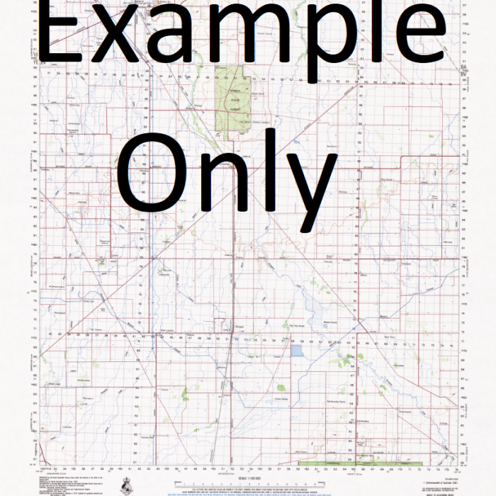
GA 7192 – Vanimo Online
- Estimated Delivery : Up to 4 business days
- Free Shipping & Returns : On all orders over $200
This Topographic Map is produced by Geoscience Australia; Australia s national geospatial organisation.
GA topographic maps (many of which are produced in partnership with the Army) are generally older than those maps produced by the State Governments over the same area. This makes GA maps particularly useful for identifying historic features, such as old mines and diggings.
Geoscience Australia maps generally considered to be more pleasing in design and compilation then the more modern State Government productions.
At this scale, 1cm on this map represents 1km on the ground. A standard map (which is square) covers an area of approximately 54km by 54km, with a contour interval of 20m. This map contains natural and constructed features including road and rail infrastructure, vegetation, hydrography, contours, localities and some administrative boundaries.
Please note the date of the map, as this will impact the currency of information, particularly regarding infrastructure, roads, etc.
Yako Yakaru Hills Wutung Watong Wutong Wudiji Creek Wobo Hills Wawa Waterstone Wasu Creek Waso Hill Wasau Hills Warimo Varomo Warimo Hamlets Wai Creek Vanimo Point Vanimo Harbour Angriffs Harbour Angriffs Haven Daundaie Bay Vanimo District Vanimo Angriffs-Hafen Attack Bay VAI Vanimo Government Station Wanimo Usipi Creek Useki Creek Umine Creek Umani Creek Ugunu Creek Tiba Hill Sosi Sinanu 3 Sinanu 2 Sinanu Sinanu 1 Sikur Sereri Creek Duro Creek Duro River Sereri River Sawan Sawampa Mount Saou Mount Osa Samararu Sumararu Robide Point Puwani River Me River Pawani River Pusiur Creek Purella Creek Punwep Creek Punua Creek Pumbi Pumal Creek Pulau Creek Pulan River Puive Creek Puipe Creek Pual River Nemayer River Neumayer River Neumeyer River Paul River Po Pewe Pemoko Creek Pegi Creek Pebi Owola Hill Ossima Ima OSG Osima Ossimor Yelia Osol Osobu Creek Usobu Creek Onepi Onei Omula Hills Omula Olul Old Musu Old Imbrinis Oenake Range Oenake Mountains Odaki Hills Ningera Negira Negira Villages Ninago Warabung Newawol New Airu Narimuru Island Musu Mushu Masipo Manda Creek Maiu River Luap Creek Lote Mission Lilak Mount Lade Kru Kru Krisa Krisi Kong Kong Creek Kipri Hill Kiliwis Ifani Iwis Iwiss Killiwas Kilipau Kavuai Hills Kalauni Creek Jassi River Bwin River Jabiri River Bunume Tjabri-Rivier Isi 2 Isi Number 2 Isi 1 Isi Number 1 Imbrinis Imbringis Imbrini Imbio 3 Imbio Number 3 Imbio 2 Imbio 1 Imbio Ilup Ilol Ilop Ilulu Point Ibbekuang Bay Mount Hartmann Foni Hills Emoa Creek Waramambu Creek Elau Dupri Hill Davi Creek Daundo Creek Daunda Creek Daumlinge Bay Dari Bay Daumlings Bay Daumtings Bay Dasi Danorto Creek Damatang Creek Dakriro Bay Cape Concordia Buro Island Buof River Buikwo Creek Brinoka Gap Brinoka Kloof Bowwui Creek Bougainville Bay Mount Bougainville Boap Creek Mugi River Blackwater Creek Bilia Creek Bili Creek Bibiorli Hills Beii Creek Bei i Creek Baro Bapa Awol Awob Awoga Hill Awao Hill Auli Mount Asowa Ape Hills Aiyawou Aijawou Aiyawo Airu Vanimo Airport AYVN
| Title | Paper, Laminated |
|---|
