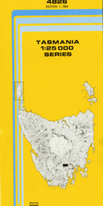
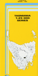
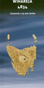
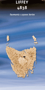
This Topographic Map is produced by the Department of Primary Industries, part of the Tasmanian Government. These maps are an important resource for Government, industry, and the public. They are used for environmental and emergency management, farm planning and mineral exploration. They are also popular for recreational users such as bushwalkers, mountain bike and horse…
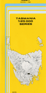
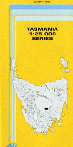
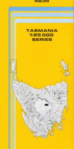
This Topographic Map is produced by the Department of Primary Industries, part of the Tasmanian Government. These maps are an important resource for Government, industry, and the public. They are used for environmental and emergency management, farm planning and mineral exploration. They are also popular for recreational users such as bushwalkers, mountain bike and horse…
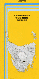
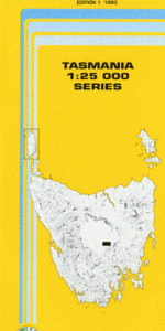
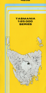
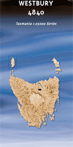
This Topographic Map is produced by the Department of Primary Industries, part of the Tasmanian Government. These maps are an important resource for Government, industry, and the public. They are used for environmental and emergency management, farm planning and mineral exploration. They are also popular for recreational users such as bushwalkers, mountain bike and horse…
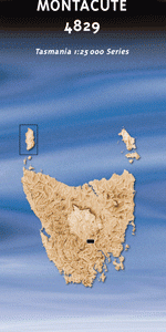
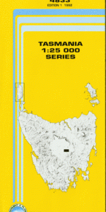
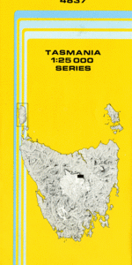
This Topographic Map is produced by the Department of Primary Industries, part of the Tasmanian Government. These maps are an important resource for Government, industry, and the public. They are used for environmental and emergency management, farm planning and mineral exploration. They are also popular for recreational users such as bushwalkers, mountain bike and horse…
This Topographic Map is produced by the Department of Primary Industries, part of the Tasmanian Government. These maps are an important resource for Government, industry, and the public. They are used for environmental and emergency management, farm planning and mineral exploration. They are also popular for recreational users such as bushwalkers, mountain bike and horse…
This Topographic Map is produced by the Department of Primary Industries, part of the Tasmanian Government. These maps are an important resource for Government, industry, and the public. They are used for environmental and emergency management, farm planning and mineral exploration. They are also popular for recreational users such as bushwalkers, mountain bike and horse…
This Topographic Map is produced by the Department of Primary Industries, part of the Tasmanian Government. These maps are an important resource for Government, industry, and the public. They are used for environmental and emergency management, farm planning and mineral exploration. They are also popular for recreational users such as bushwalkers, mountain bike and horse…
This Topographic Map is produced by the Department of Primary Industries, part of the Tasmanian Government. These maps are an important resource for Government, industry, and the public. They are used for environmental and emergency management, farm planning and mineral exploration. They are also popular for recreational users such as bushwalkers, mountain bike and horse…
This Topographic Map is produced by the Department of Primary Industries, part of the Tasmanian Government. These maps are an important resource for Government, industry, and the public. They are used for environmental and emergency management, farm planning and mineral exploration. They are also popular for recreational users such as bushwalkers, mountain bike and horse…
This Topographic Map is produced by the Department of Primary Industries, part of the Tasmanian Government. These maps are an important resource for Government, industry, and the public. They are used for environmental and emergency management, farm planning and mineral exploration. They are also popular for recreational users such as bushwalkers, mountain bike and horse…
This Topographic Map is produced by the Department of Primary Industries, part of the Tasmanian Government. These maps are an important resource for Government, industry, and the public. They are used for environmental and emergency management, farm planning and mineral exploration. They are also popular for recreational users such as bushwalkers, mountain bike and horse…
This Topographic Map is produced by the Department of Primary Industries, part of the Tasmanian Government. These maps are an important resource for Government, industry, and the public. They are used for environmental and emergency management, farm planning and mineral exploration. They are also popular for recreational users such as bushwalkers, mountain bike and horse…
This Topographic Map is produced by the Department of Primary Industries, part of the Tasmanian Government. These maps are an important resource for Government, industry, and the public. They are used for environmental and emergency management, farm planning and mineral exploration. They are also popular for recreational users such as bushwalkers, mountain bike and horse…
This Topographic Map is produced by the Department of Primary Industries, part of the Tasmanian Government. These maps are an important resource for Government, industry, and the public. They are used for environmental and emergency management, farm planning and mineral exploration. They are also popular for recreational users such as bushwalkers, mountain bike and horse…
This Topographic Map is produced by the Department of Primary Industries, part of the Tasmanian Government. These maps are an important resource for Government, industry, and the public. They are used for environmental and emergency management, farm planning and mineral exploration. They are also popular for recreational users such as bushwalkers, mountain bike and horse…
This Topographic Map is produced by the Department of Primary Industries, part of the Tasmanian Government. These maps are an important resource for Government, industry, and the public. They are used for environmental and emergency management, farm planning and mineral exploration. They are also popular for recreational users such as bushwalkers, mountain bike and horse…