TAS 5246 – Bridport Online
- Estimated Delivery : Up to 4 business days
- Free Shipping & Returns : On all orders over $200
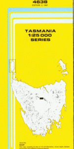
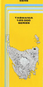
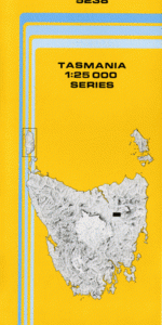
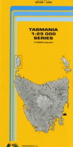
This Topographic Map is produced by the Department of Primary Industries, part of the Tasmanian Government.
These maps are an important resource for Government, industry, and the public. They are used for environmental and emergency management, farm planning and mineral exploration. They are also popular for recreational users such as bushwalkers, mountain bike and horse riders.
The PDF version of this can be printed at home or sent to a professional printer for a 100% scale reproduction.
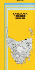
At this scale, 4cm on this map represents 1km on the ground. A standard map (which is square) covers an area of approximately about 12.5km by 12.5km, with a contour interval of 10m. This map contains natural and constructed features including road and rail infrastructure, vegetation, hydrography, contours, localities and some administrative boundaries.
Clovelly Umtali Bridwood Bridport Adams Beach Adams Cut Anderson Bay Double Sandy Point Conservation … East Sandy Point Eastmans Beach Bar Marsh Barnbougle Beach Brid River Reserve Bridport Golf Course Bridport Wildflower Reserve Croquet Lawn Beach David Steane Conservation Area Forester Rock Granite Point Granite Point Conservation Area Goftons Beach Jerusalem Plains Lades Beach Mattingleys Beach Matts Marsh Mermaids Beach Mermaids Pool Murphys Beach Narooma Park Pier Point Pineys Lagoon Regatta View Point Single Tree Plain Single Tree Plain Conservation Area Southern Cross Reef St Albans Bay Trent Water Tuckers Creek West Sandy Point Boat Cove Channel Beach Niggers Flat St Albans West Sandy Cape West Double Sandy Point East Sandy Cape East Double Sandy Point Andersons Bay Double Sandy Point Conservation Little Forester River Brid River Great Forester River Tucker Creek
| Title | Pdf Download |
|---|