TAS 3829 – Limekiln Supply
- Estimated Delivery : Up to 4 business days
- Free Shipping & Returns : On all orders over $200
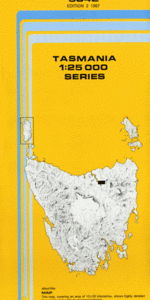
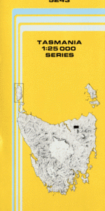
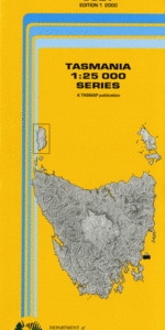
This Topographic Map is produced by the Department of Primary Industries, part of the Tasmanian Government.
These maps are an important resource for Government, industry, and the public. They are used for environmental and emergency management, farm planning and mineral exploration. They are also popular for recreational users such as bushwalkers, mountain bike and horse riders.
The PDF version of this can be printed at home or sent to a professional printer for a 100% scale reproduction.
At this scale, 4cm on this map represents 1km on the ground. A standard map (which is square) covers an area of approximately about 12.5km by 12.5km, with a contour interval of 10m. This map contains natural and constructed features including road and rail infrastructure, vegetation, hydrography, contours, localities and some administrative boundaries.
Double Fall Blackmans Bend Camerons Flat Convict Peak Elliot Range First Gorge Flat Island Flat Top Hill Forester Creek Franklin Cave Franklin River Goodwins Peak Guy Fawkes Creek Kutikina Cave Lake Fidler Limekiln Reach Little Eagle Creek Marble Cliffs Nothofagus Cave Pine Landing Snag Point Sulphide Pool Wattle Camp Creek Elliott Range Mount Discovery Forester Rivulet Ghost Creek Foucha Creek Butler Creek Sir John Falls
| Title | Pdf Download |
|---|