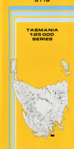
TAS 5118 – Cloudy Fashion
- Estimated Delivery : Up to 4 business days
- Free Shipping & Returns : On all orders over $200
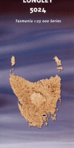
This Topographic Map is produced by the Department of Primary Industries, part of the Tasmanian Government.
These maps are an important resource for Government, industry, and the public. They are used for environmental and emergency management, farm planning and mineral exploration. They are also popular for recreational users such as bushwalkers, mountain bike and horse riders.
The PDF version of this can be printed at home or sent to a professional printer for a 100% scale reproduction.
At this scale, 4cm on this map represents 1km on the ground. A standard map (which is square) covers an area of approximately about 12.5km by 12.5km, with a contour interval of 10m. This map contains natural and constructed features including road and rail infrastructure, vegetation, hydrography, contours, localities and some administrative boundaries.
East Cloudy Head Beaufort Bay Blue Devil Rock Bob Halls Parlour Boreel Head Bridge Rock Cape Bruny Cape Bruny Lighthouse Cloudy Bay Cloudy Corner Cloudy Reef Courts Bay Courts Island Courts Rock Elephant Rock Hawkins Creek Imlays Creek Kingfisher Beach Lighthouse Bay Lighthouse Jetty Beach Little Friars Creek Mabel Bay Mount Barren Mount Bruny Oak Point Pine Log Bight Point Grand Pyramid Bay Quiet Bay Shallow Bottom Point Standaway Bay Tasman Head The Friars Wares Point West Cloudy Head Beaufort Beaufort Point Big Friars Mount Bruny Forest Reserve Standeway Bay Kingfish Beach Court Island Friar Rocks Friars Rocks
| Title | Pdf Download |
|---|