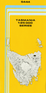
TAS 5444 – Scottsdale Fashion
- Estimated Delivery : Up to 4 business days
- Free Shipping & Returns : On all orders over $200
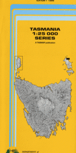
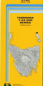
This Topographic Map is produced by the Department of Primary Industries, part of the Tasmanian Government.
These maps are an important resource for Government, industry, and the public. They are used for environmental and emergency management, farm planning and mineral exploration. They are also popular for recreational users such as bushwalkers, mountain bike and horse riders.
The PDF version of this can be printed at home or sent to a professional printer for a 100% scale reproduction.
At this scale, 4cm on this map represents 1km on the ground. A standard map (which is square) covers an area of approximately about 12.5km by 12.5km, with a contour interval of 10m. This map contains natural and constructed features including road and rail infrastructure, vegetation, hydrography, contours, localities and some administrative boundaries.
Northolm View Bank Wyuna Fairmead Laurella Scottsdale Arnon River Biggs Gap Brendas Picnic Ground Butlers Saddle Campbells Hill Childrens Reserve China Creek Davis Hill Donnolly Creek Ellesmere Cemetery Ellesmere Hill Fenckers Creek Forester Flats Hang Dog Creek Hang Dog Hill Kamona Kamona Plantation Kamona Ridge Kamona Siding Kapai Ridge Ling Siding Lucky Strike Peak Maryvale Flats Monazite Creek Morris Ridge Mount Stronach Mount Zion North Scottsdale Northeast Caravan Park Rigneys Creek Rocks Ridge Rocky Gully Ruby Creek Saliers Hill Scottsdale Golf Course Scottsdale Recreation Ground Stronach Cemetery Taylors Creek Three Mile Creek Tonganah Tonganah Siding Tulendeena Warrentinna Plantation Waterhole Creek Briggs Hill Forester River Bridge Halls Corner Hang Dog Creek Bridge Kapai Mount Stronach Forest Reserve Williams Creek Mackenzie Creek Hogarth Rivulet Trewalla Siding
| Title | Pdf Download |
|---|