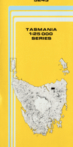
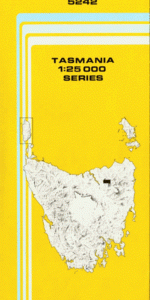
TAS 5242 – Patersonia Online now
- Estimated Delivery : Up to 4 business days
- Free Shipping & Returns : On all orders over $200
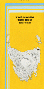
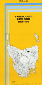
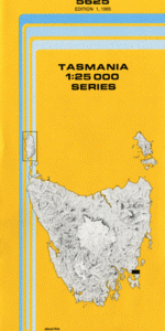
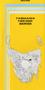
This Topographic Map is produced by the Department of Primary Industries, part of the Tasmanian Government.
These maps are an important resource for Government, industry, and the public. They are used for environmental and emergency management, farm planning and mineral exploration. They are also popular for recreational users such as bushwalkers, mountain bike and horse riders.
The PDF version of this can be printed at home or sent to a professional printer for a 100% scale reproduction.
At this scale, 4cm on this map represents 1km on the ground. A standard map (which is square) covers an area of approximately about 12.5km by 12.5km, with a contour interval of 10m. This map contains natural and constructed features including road and rail infrastructure, vegetation, hydrography, contours, localities and some administrative boundaries.
Leathley Reediform Holm Wai Tere Mountain View Kerry Cabin Boulders The Aldridge Cherry Farm Hillsview Myrtle Grove Barra View Rookwood Castlethurso Barrowview Naranghi Eaglehawk Tier East Diddleum Road Conservation … Barrow Creek Barrow Falls Bennies Creek Camden Plains Coquet Creek Georges Plain Goftons Creek Launceston City Council Mount Barrow Mount Barrow Falls State Reserve Mount Barrow State Reserve Myrtle Bank Myrtle Park Patersonia Patersonia Rivulet Pecks Hill Peddles Creek Seven Time Creek Skemps Creek Skyline Tor St Patricks River Targa Targa Hill Tayene Wilsons Creek Barrow Creek Bridge Bennies Creek Bridge Black Jack Creek Coquet Creek Bridge Seven Time Creek Bridge East Diddleum Road Conservation Area Valentine Rivulet Camden Brook Trout Creek Saint Patricks River
| Title | Pdf Download |
|---|