TAS 5227 – Tea Tree Online now
- Estimated Delivery : Up to 4 business days
- Free Shipping & Returns : On all orders over $200
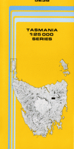
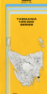
This Topographic Map is produced by the Department of Primary Industries, part of the Tasmanian Government.
These maps are an important resource for Government, industry, and the public. They are used for environmental and emergency management, farm planning and mineral exploration. They are also popular for recreational users such as bushwalkers, mountain bike and horse riders.
The PDF version of this can be printed at home or sent to a professional printer for a 100% scale reproduction.
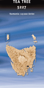
At this scale, 4cm on this map represents 1km on the ground. A standard map (which is square) covers an area of approximately about 12.5km by 12.5km, with a contour interval of 10m. This map contains natural and constructed features including road and rail infrastructure, vegetation, hydrography, contours, localities and some administrative boundaries.
Pine Grove Nutshell The Woodreef Cranston Penrise Stratford Glen Lynn Woodburn Shene Merriworth Oaklington Alma Lodge Willow Brook Eliza Farm Mallow Wattle Banks Campania House Strathallan Woodlands Pineville Kincora Laburnum Park Churchill Wakefield Summerville Nathan Park Rosewood Torwood Riversdale Carrington Inverquharity Wembley Park Lodge The Pleasant Hills Landermere Honeywood Nugent Campania Pontville Duffys Hill Bagdad Rivulet Brains Hill Brighton Brighton Council Brinktop Broad Valley Creek Coal River Tier Cockatoo Gully Elliotts Hill Enfield Flour Mill Park Gunns Sugarloaf Hammonds Tier Howards Hill Inverquharity Rivulet Jews Hill Jones Sugarloaf Kelly Field Longs Hill Merriworth Hill Phillips Sugarloaf Plummers Creek Polonia Bridge Pontville Bridge Rekuna Shene Hill Stony Hill Strathallan Rivulet Tea Tree Tea Tree Golf Course Tea Tree Rivulet Tennants Hill Watts Point Westons Hill White Kangaroo Rivulet Willowbrook Creek Wingys Sugarloaf Woodlands Creek Brighton Camp Cole River Bridge Inverquharity Creek Bridge Lindwood Strathallan Creek Bridge Tea Tree Rivulet Bridge Johnnys Wells Lowdina Wybra Hall Native Hut Rivulet Strathallern Rivulet Pontville Station Maiden Early Brighton Junction
| Title | Pdf Download |
|---|