TAS 3836 – Selina For Sale
- Estimated Delivery : Up to 4 business days
- Free Shipping & Returns : On all orders over $200
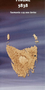
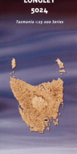
This Topographic Map is produced by the Department of Primary Industries, part of the Tasmanian Government.
These maps are an important resource for Government, industry, and the public. They are used for environmental and emergency management, farm planning and mineral exploration. They are also popular for recreational users such as bushwalkers, mountain bike and horse riders.
The PDF version of this can be printed at home or sent to a professional printer for a 100% scale reproduction.
At this scale, 4cm on this map represents 1km on the ground. A standard map (which is square) covers an area of approximately about 12.5km by 12.5km, with a contour interval of 10m. This map contains natural and constructed features including road and rail infrastructure, vegetation, hydrography, contours, localities and some administrative boundaries.
Anthony Dam Anthony Levee Anthony River Arnold Peak Butlers Beach Dome Creek George Creek Gooseneck Hill Harris Creek Ives Creek Julia Creek Julia Peak Lake Gaye Lake Julia Lake Murchison Lake Plimsoll Lake Sandra Lake Selina Lake Westwood Little Sister Lukes Knob Lukes Knob Regional Reserve Mount Julia Mount Selina Moxon Peak Moxon Saddle Moyle Rock Newton Peak Quinn Creek Red Hills Red Hills Creek Shaded Creek Spotswood Creek Sticht Range Whitecliff Hills Camp Creek Grahams Knob Williamsford Sophia Peak Anthony Creek
| Title | Pdf Download |
|---|